LOCATION
Prague
Czech Republic

Time spent
3 Days on site
15 Dossier processing days

products
Pointcloud, 360° Photo Viewer, CAD documentation

accuracy
2mm Pointcloud
LOD2 CAD Documentation
as-built CAD Project: Legerova
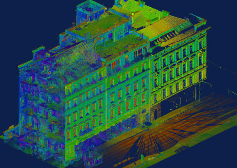
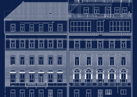
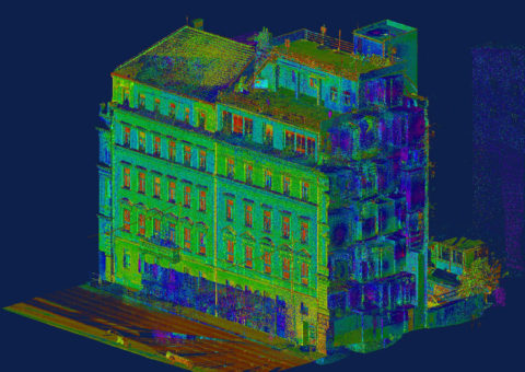
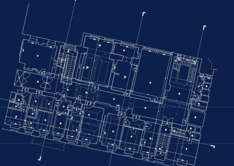
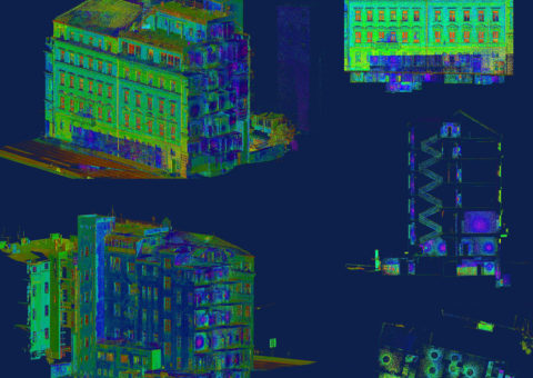
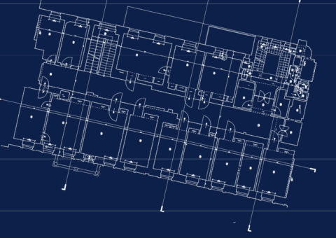
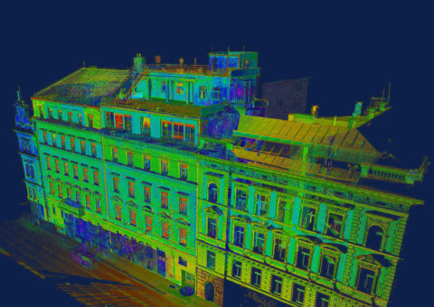
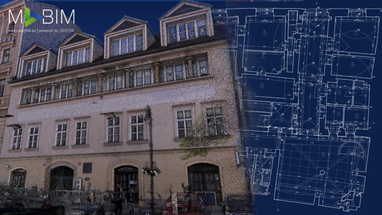
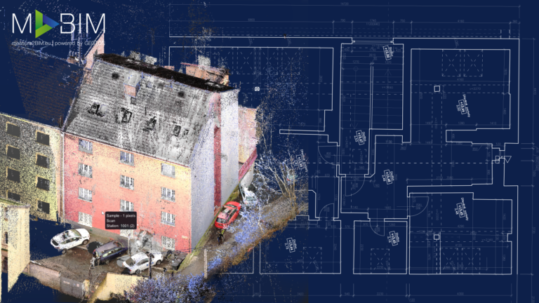
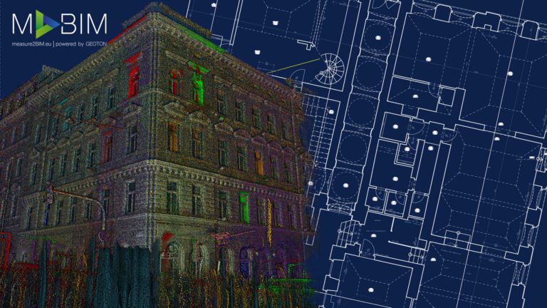
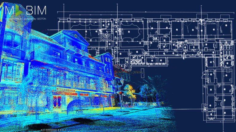
We used state-of-the-art technologies and procedures, such as 3D laser scanning in combination with classic geodetic methods, to survey a block of flats on Legerova Street. Thanks to this combination of methods, we created a highly accurate 3D model in the form of point clouds, the accuracy and placing on coordinates which were verified using specialised surveying equipment and procedures. Thanks to the laser scanners, we surveyed the entire building in 3 days. Thanks to its speed and efficiency, this survey method allows us to survey buildings without restricting their normal operation. 2D construction documentation was processed from point clouds, in AutoCad, following the National Heritage Institute requirements. The resulting As-Built documentation contained sectional views, floor plans and elevations of all facades. The client approved the documentation in LOD2 as a level of detail of CAD documentation, which will serve as a basis for the building’s reconstruction.


