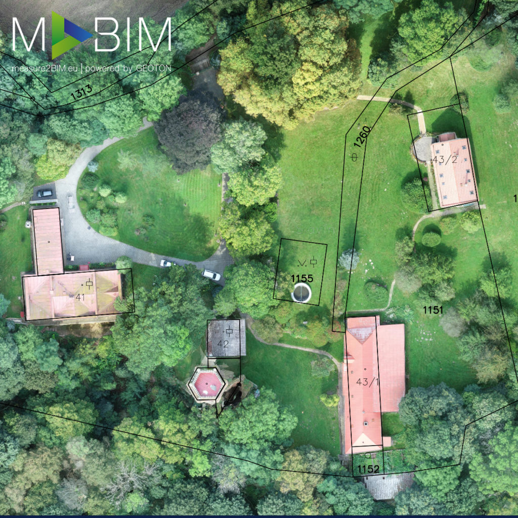
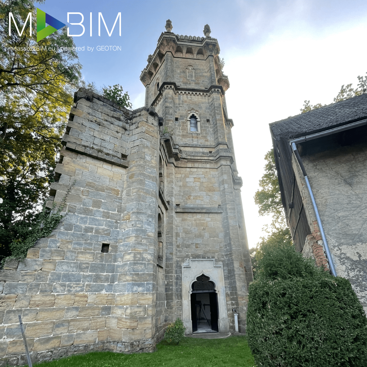
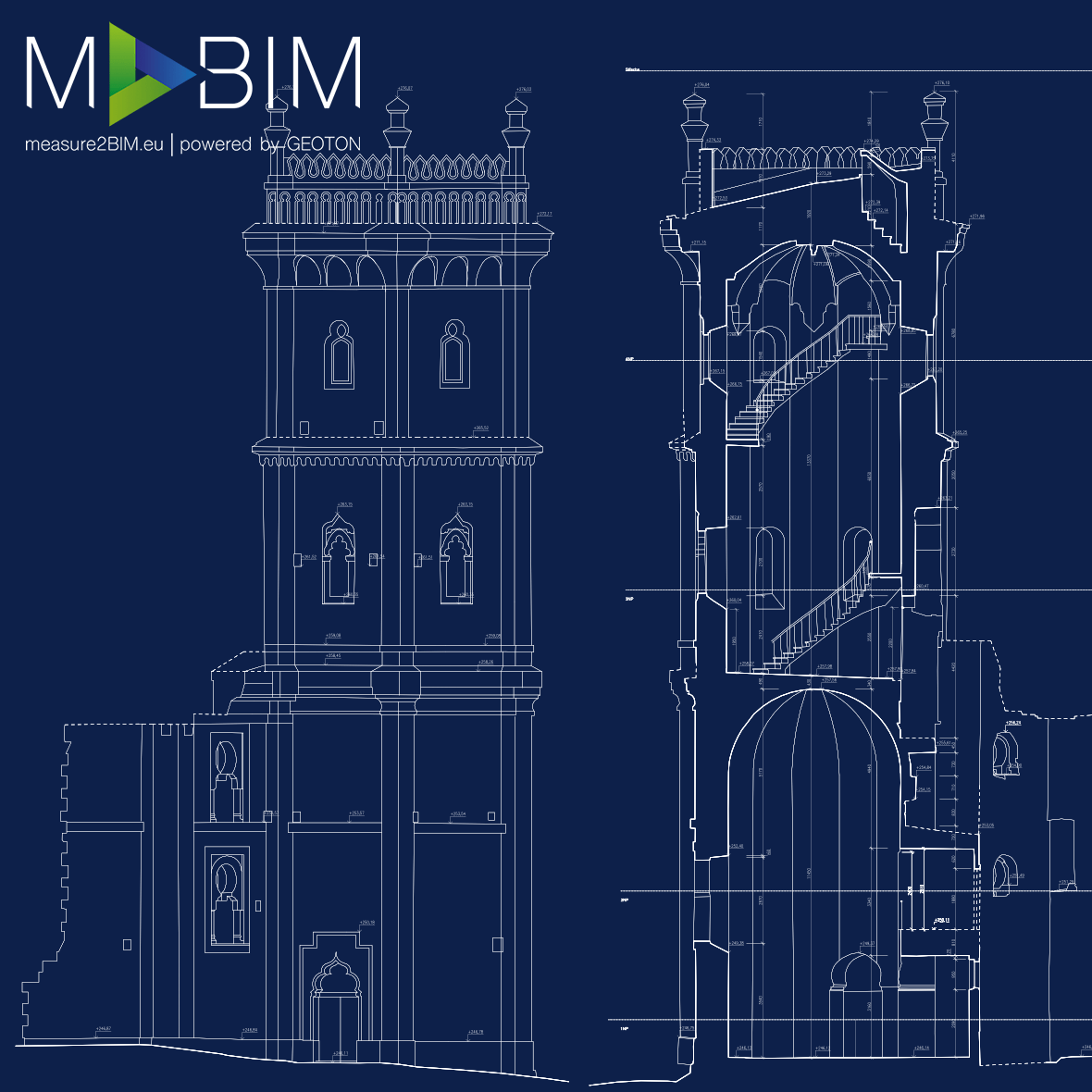
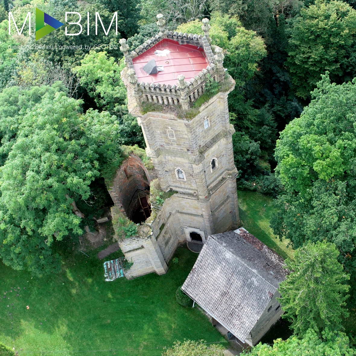
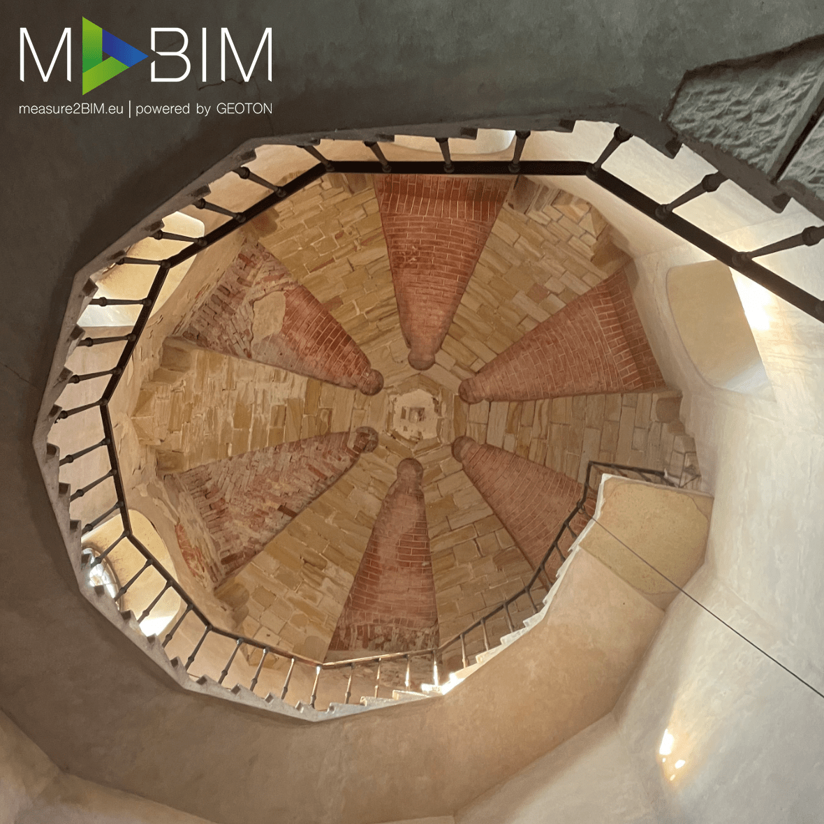
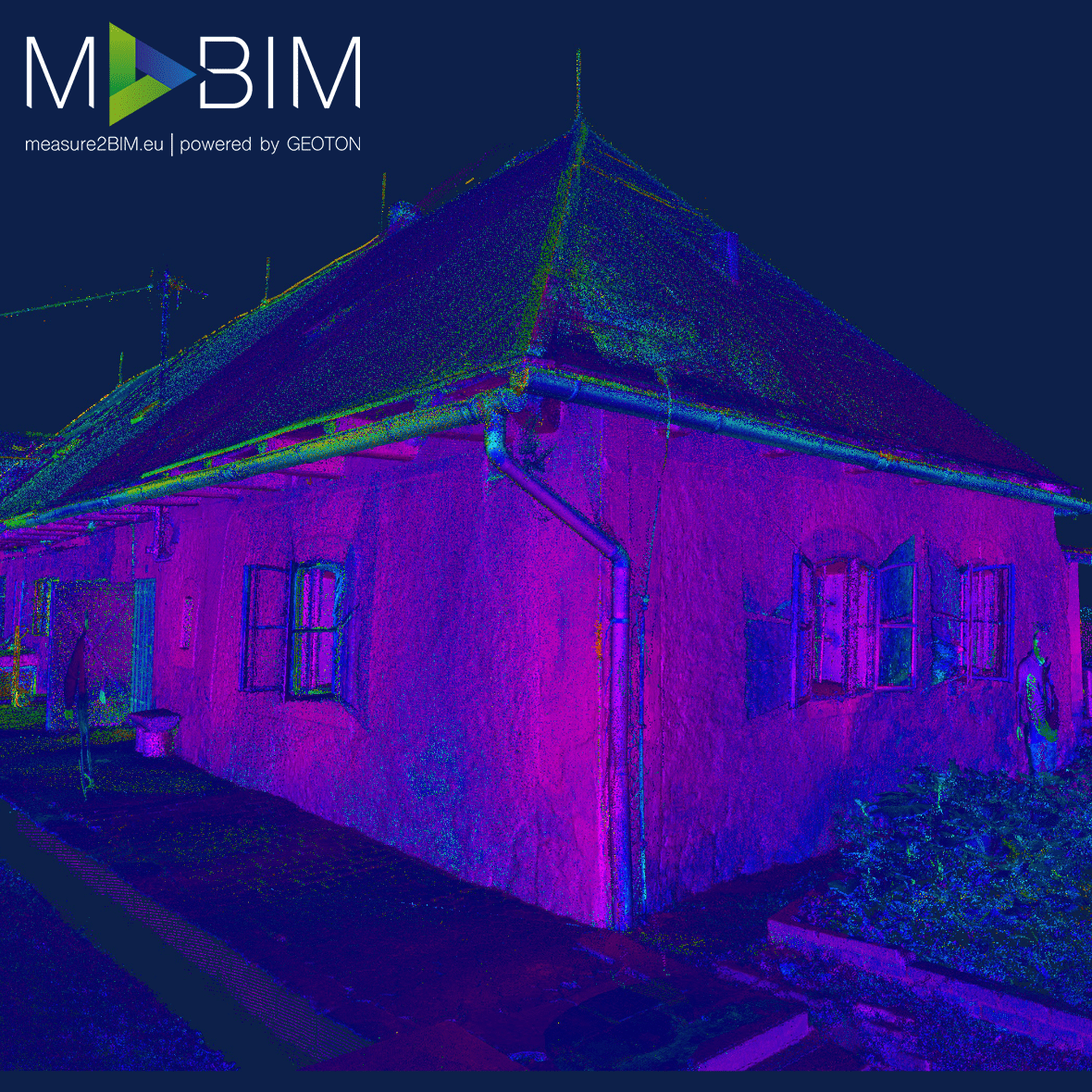
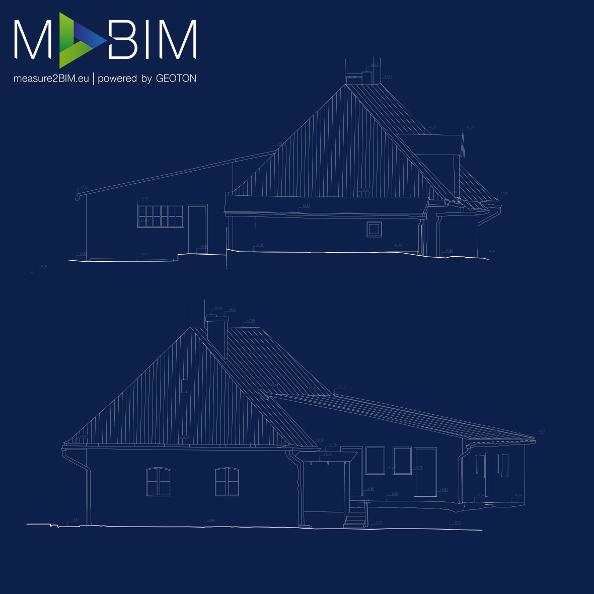
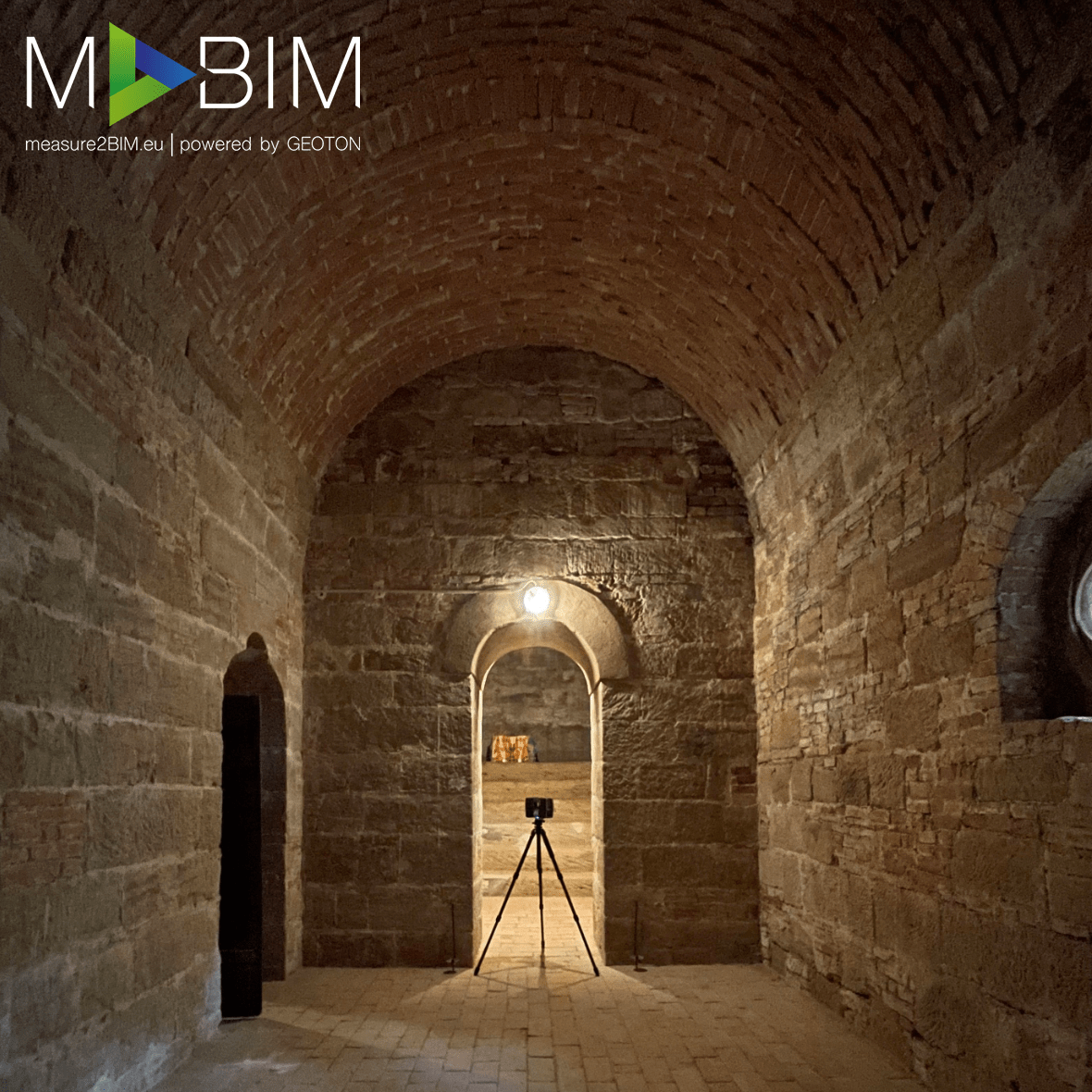
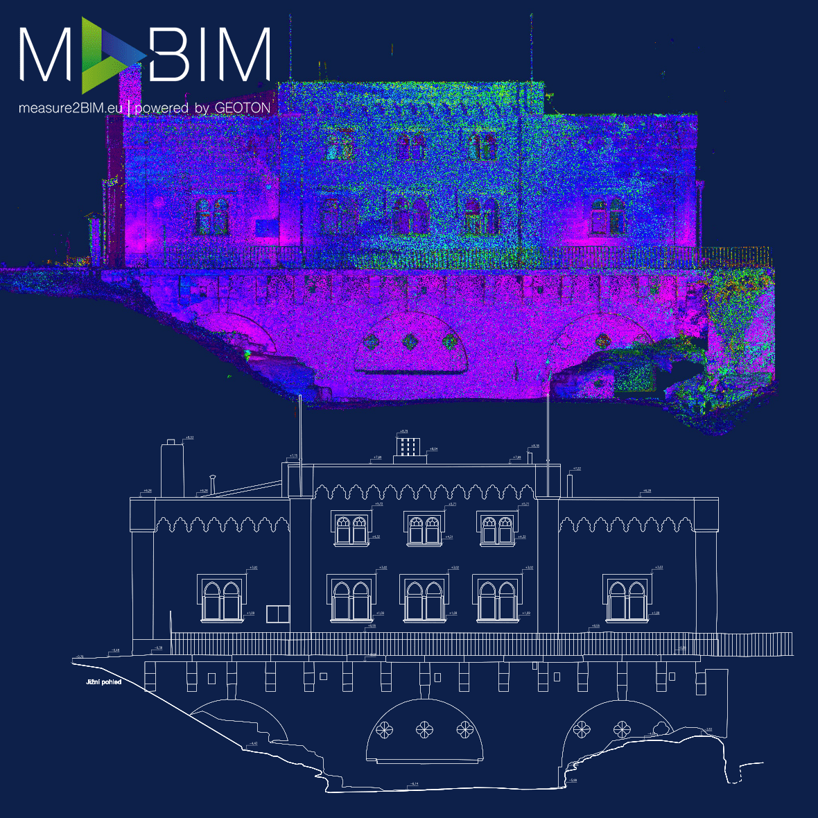
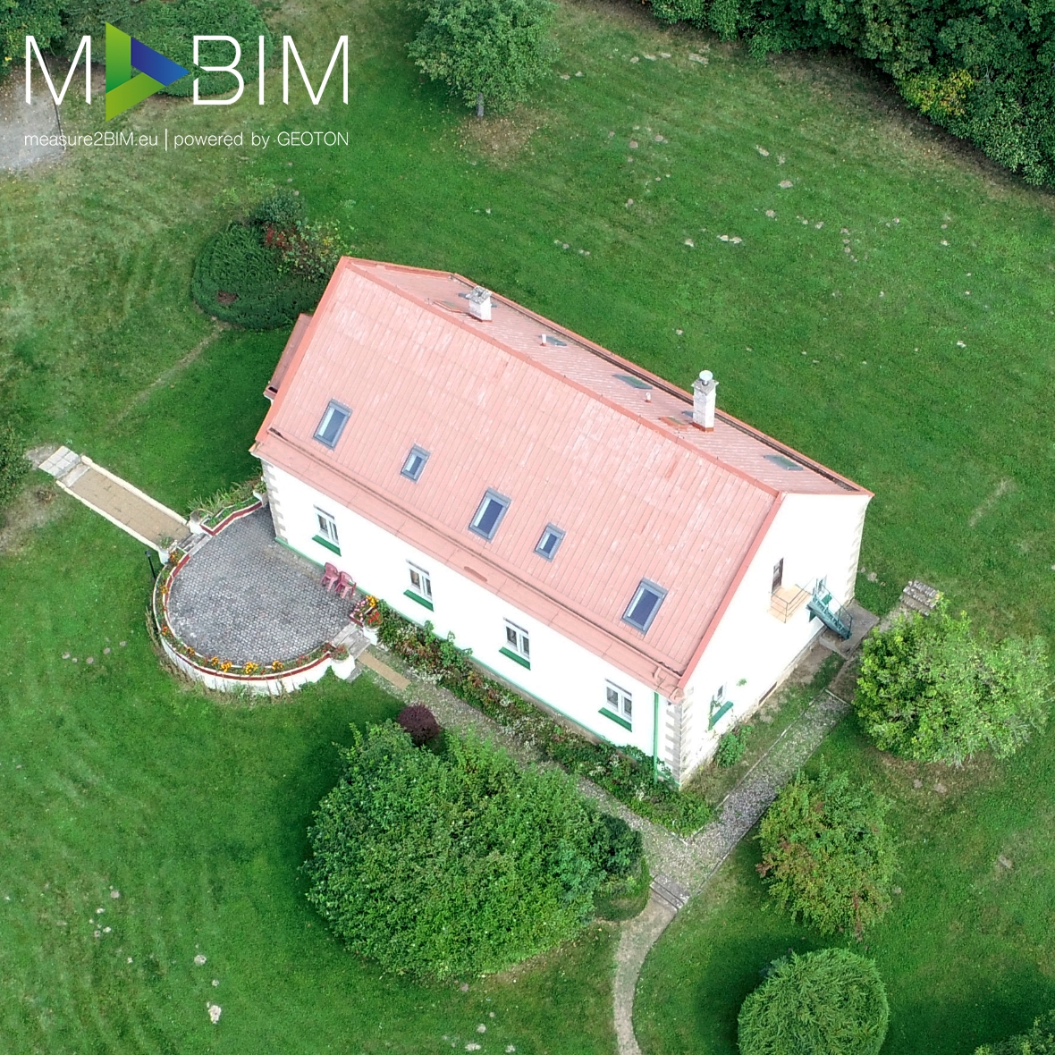
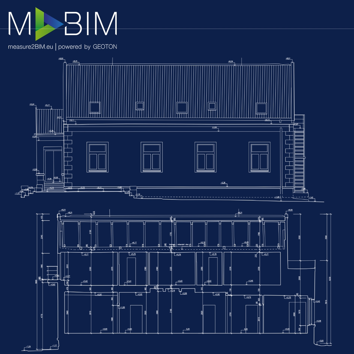
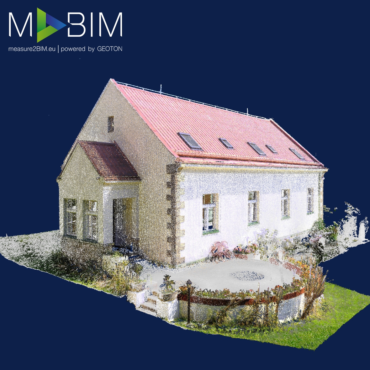
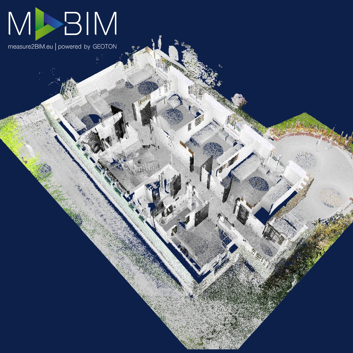
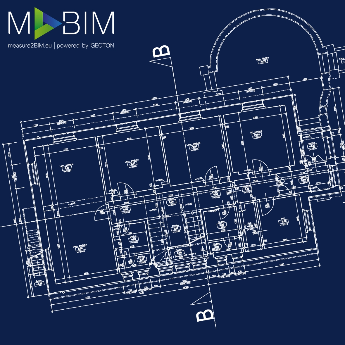
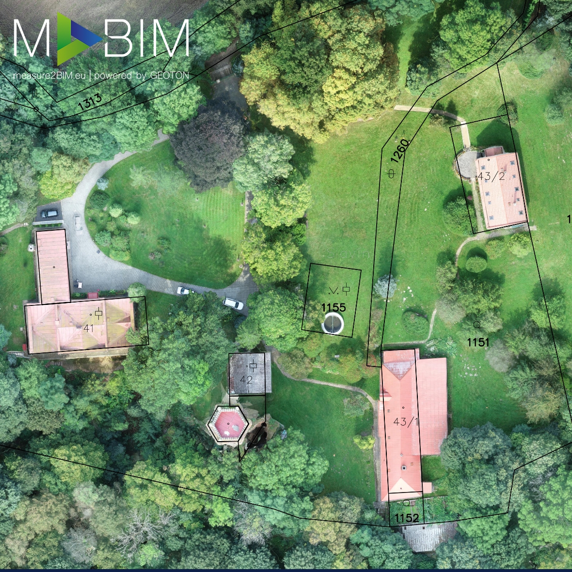
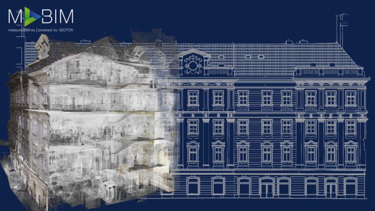
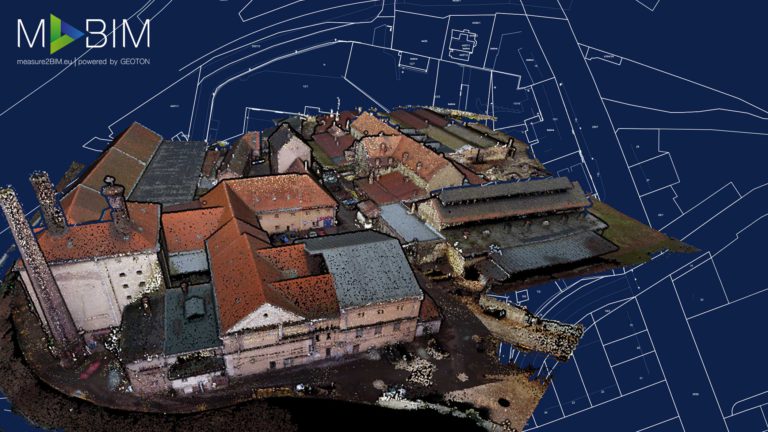
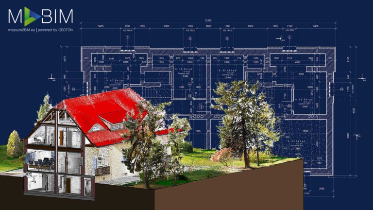
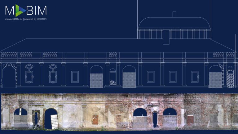
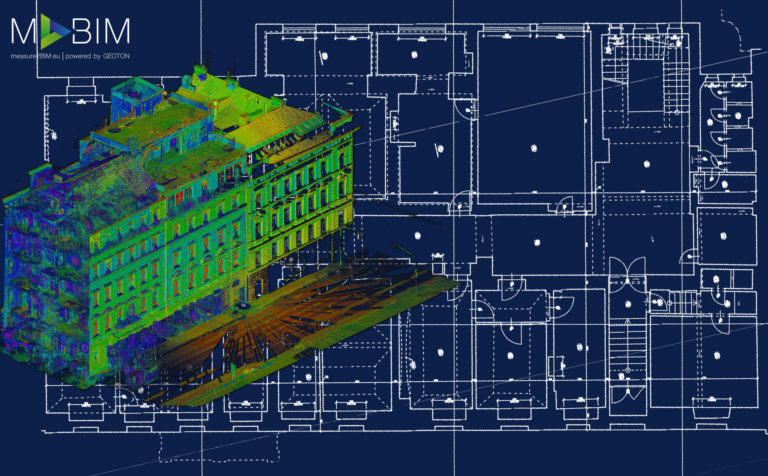
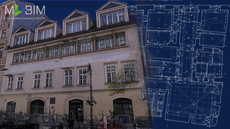
We used state-of-the-art technologies and procedures, such as 3D laser scanning with RTK Drone and classical geodetic methods, to survey the complex of five buildings in the historical area of Slavin Castle. Thanks to this combination of methods, we created a highly accurate 3D model in the form of point clouds, the accuracy, and placement of which were verified using specialized surveying equipment and procedures. Thanks to the use of laser scanners, we surveyed the entire area in just 2 days. This method of surveying, thanks to its speed and efficiency, allows us to measure buildings without restricting their normal operation. 2D As-Built documentation was processed from point clouds in the AutoCAD program. The resulting As-Built documentation of the building contained sections, floor plans, and elevation of all facades. As a level of detail in the CAD documentation, the client approved the documentation in the LOD2 detail, which will serve as a basis for the reconstruction of the building.
This website uses cookies for analysis purposes. By using our website, we assume that you agree to our use of cookies.
You may revoke your consent for us to store cookies at any time by deleting the cookies. Revoking your consent does not affect the legality of any processing performed on the basis of your consent prior to its revocation.